As an Amazon Associate, we earn from qualifying purchases. We may also earn commissions if you purchase products from other retailers after clicking on a link from our site.
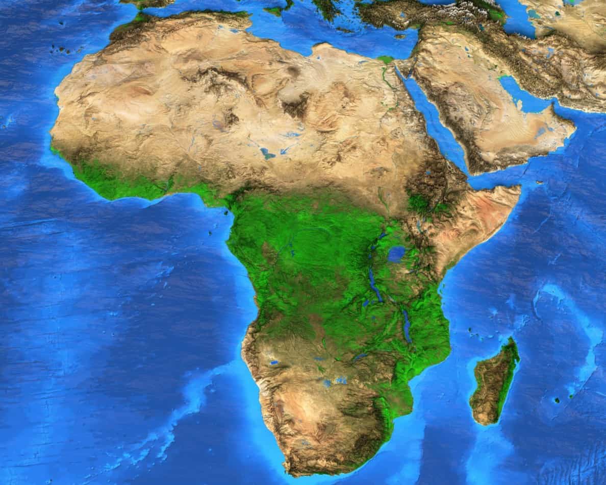
Despite fast and safe air travel, some people chose a more adventurous way of travel — and what better destination for your sail than Africa. With its diverse climates, countries, and landscapes the African continent is one of my favorite places to explore. However, before you embark on a journey to this area of the globe, you must consider how long it takes to sail to Africa from where you are in the world.
It takes at least 4 days to sail from the United Kingdom to Africa, and it takes around 23 days to make the journey from the United States to the closest point in Africa. Sailing from the UK to South Africa takes at least 26 days. Powerful cargo ships can make these trips in far less time.
This article will explore how long it takes to sail to Africa from the closest ports in the United Kingdom and the United States. Let’s get started!
What Is the Closest Port in the United Kingdom to Africa?
The closest port in the United Kingdom to Africa is Penzance, at the western end of the Cornish Peninsula. The closest African country to the United Kingdom is Morocco.
At a distance of just under 1,600 km (990 miles), the closest African city to the United Kingdom is Tangiers, Morocco. For this article, the port of call in Morocco will be Casablanca. Casablanca is the largest port in Mocorro, and it is one of the most famous.
Penzance, Cornwall, United Kingdom, is part of the St. Ives parliamentary district. It sits at a large natural harbor right on Mount’s Bay, at the end of the Cornish peninsula. As of 2021, the population of Penzance was 21,200.
Penzance served as the base for the fictional pirates in Gilbert and Sullivan’s opera, the Pirates of Penance.
For the pedants among us, technically, the closest point in the United Kingdom to Africa is Gibraltar, a British exclave on the southern coast of Spain. Gibraltar is just 21 km (13 miles) from the northernmost point in Morocco.
Sailing between Gibraltar and Morocco takes about two hours, and it also makes an ideal stopping point when you’re sailing the long haul between Morocco and the UK.
How Far Is South Africa From the United Kingdom?
South Africa is 9,880 km (6140 miles) from the United Kingdom. When sailing from the United Kingdom, the most likely port of call is Cape Town on the western coast of the Cape of Good Hope. Cape Town is one of South Africa’s three capital cities and home to the national parliament.
The closest point in the United Kingdom, not counting Gibraltar, is Penzance, Cornwall. Penzance is 9,648 km (5994 miles) from Cape Town, South Africa, in a straight line. Several South African ports are further north, but Cape Town is the primary hub for sea travel and the ultimate destination in South Africa.
The northernmost South African port, which could be the port of call for sailors from the UK, is Port Nolloth. Port Nolloth used to be a regional hub for copper and diamond mining, but most of the mines closed in the mid-20th century. It has no significant transit links and primarily services local fishers and recreational boaters, so it’s not the best place to port.
The next northernmost South African port is Port Saldanha. This port lies in a natural harbor with limited facilities and transit connections. The harbor only has 20 berths and is near a protected natural conservation area.
Sailing to Cape Town, South Africa, adds several days to any transit from the United Kingdom, but it is the best port of call and the traditional terminus for voyages from Europe.
What Is the Closest Port in the United States to Africa?
The closest port in the United States to Africa is Portland, Maine. Portland is over 3,100 miles (4,988 km) from the nearest point in Africa, which is a small Peninsula called El Beddouza in the Safi Province of Morocco. The port of Agadir will serve as the final destination.
Because the Earth is, in fact, an oblate spheroid, and Maine is considerably further east than any other large city in the contiguous United States, it is the closest American state to Africa. However,
America’s overseas territories of Puerto Rico and the American Virgin Islands are still closer.
Technically the closest point in the USA to Africa is Quoddy Head, a small peninsula four miles (6 km) off of state route 189, near the small town of Lubec, Maine. Quoddy Head is a state park and not an international harbor.
Portland is the largest city in Maine, with 68,408 people as of the 2020 census. Portland’s harbor services both commercial and recreational sea traffic. The western side of the waterfront services primarily freight and industrial shipping, while the eastern waterfront houses cruise ship ports and an international ferry service.
The closest point in Africa to the USA is a small peninsula called El Beddouza, located in Safi Province. While there is a port in Safi, it lacks significant transit links or a busy international airport. The terminus for our transatlantic voyage will be the port of Agadir, which has both large-scale transit links and a large airport.
How Long Does It Take To Sail From the United Kingdom to Africa?
It takes five full days to sail from the United Kingdom to Africa (Morocco) if you travel at an average speed of 9 knots (8 mph, 13 kph) from Penzance, the UK, to Casablanca. The trip is 1061 nautical miles (1221 miles, 1965 km).
You can take the journey year-round, but conditions are best between June and August in the summer.
If you can maintain an average speed of 9 nautical miles per hour (knots), about 8 mph or 13 kph, the trip from Penzance, Cornwall to Casablanca, Morocco, takes just under five full days.
The trip will take between five and nine days at a more realistic speed of 5 to 7 knots.
The UK to Spain
From Penzance, you will sail south by southwest, avoiding the French coast altogether. The fastest route is to cut across the mouth Bay of Biscay, between the Brittany Peninsula of France and the Northern Coast of Spain. You will be nearly 600 nautical miles (690 miles, 1,111 km) from land.
Crossing the Bay of Biscay takes about two days, and you will reapproach the coast near Cabo Touriñán, the westernmost point of Spain. From there, sail south through increasingly pleasant and warm Spanish and Portuguese waters.
If you are not in a hurry, you will sail right past Lisbon, Portugal. Lisbon is the capital of Portugal and a lovely city. The monument to the Portuguese navigators of the Age of Exploration is visible from several miles.
Spain to Marocco
Sailing south around the Iberian Peninsula takes up the majority of their cruise. One or two days after passing Lisbon, you’ll head back out to sea for the last leg of the trip, crossing the Straits of Gibraltar.
The Straits of Gibraltar are one of the busiest shipping lanes on Earth, so you need to be careful.
If you can maintain an average speed of 9 knots, crossing the Straits of Gibraltar takes about a day. At 5 or 7 knots, it’s closer to two days.
Our destination, Casablanca, is the largest port in Morocco and a central hub for all kinds of shipping. It is south by southeast of the southwesternmost point in Spain. Sailing to Casablanca rather than Tangiers or Rabat (Moroccan capital) allows you to avoid the narrower and more congested sections of the Straits of Gibraltar.
The trip from Penzance, the UK, to Casablanca, Morocco, will take an experienced sailing crew on a good boat between five and nine days.
Modern cargo ships, designed for cruising at an average speed of 24 knots (27 mph, 44 kph), can make the trip in just under two days. Try not to get in their way.
Conditions along this route are generally safe year-round but best during the summer. The Irish Sea tends to be rough in winter.
The table below shows the approximate travel times for this trip. Travel time estimates were generated using the SeaRoutes.com route planner tool.
| Penzance, UK, to Casablanca, Morocco | |
| Average Speed (knots) | Travel Time (days) |
| 5 | 8.8 |
| 7 | 6.3 |
| 9 | 4.9 |
| 24 (cargo ship) | 1.8 |
A typical offshore sailboat can carry enough supplies to make this trip nonstop. The same is not necessarily true for the subsequent two voyages.
How Long Does It Take To Sail From the United Kingdom to South Africa?
It takes between 28 and 50 days to sail from the United Kingdom to South Africa, starting in Penzance and ending in Cape Town. The trip is 6,112 nautical miles (7,033 miles, 11,320 km). Recreational and competitive sailors traditionally stop in the Canary Islands and Cape Verde.
The journey from the United Kingdom to South Africa is not for inexperienced sailors. It covers 6,112 nautical miles (7,033 miles, 11,320 km), or about 28.5% of the Earth’s circumference. The trip takes between one and two months (28 to 50 days).
You should not attempt this trip between June and November to avoid the hurricanes that form off the west coast of Africa.
You will cross the equator and experience every climate zone between the temperate and the tropics.
So, let’s look at the recommended stops and legs of this journey:
The UK to the Canary Islands
The traditional route for this trip takes sailors south around the Iberian Peninsula to the first port of call in the Canary Islands, off the coast of Morocco. The primary port in the Canary Islands is Las Palma.
The trip from Penzance, UK, to Las Palmas takes between 5 and 12 days at an average speed between 5 and 9 knots.
The Canary Islands are a beautiful chain of volcanic islands. As of the writing of this article, Las Palmas only recently experienced a significant eruption, so be sure to check before you port there to ensure that the conditions are favorable.
The Canary Islands to Cape Verde
From the Canary Islands, you sail southwest to Cape Verde, an island nation off the coast of Senegal. The African coast is subject to sporadic piracy, and experienced sailors prefer to give it a wide berth.
At an average speed between 5 and 9 knots, the trip from the Canary Islands to Cape Verde takes between four and seven days across 926 nautical miles (1,066 miles, 1715 km).
Cape Verde is an exotic and rarely visited island nation. Interestingly it is one of the few countries outside Europe and the Americas to speak Portuguese. The main port of call in Cape Verde is Praia, the national capital.
Cape Verde to South Africa
The next leg of the trip is the longest. Sailing from Cape Verde to South Africa is 3,785 nautical miles (3,665 miles, 5,899 km), and at the aforementioned average speeds takes between 18 and 32 days. You can sail a straight course to the southeast using modern GPS technology.
If the length of this leg of the journey is overwhelming, there is a conveniently placed British possession about halfway between Cape Verde and South Africa, Saint Helena Island. Saint Helena is 2,128 nautical miles (2,448 miles, 3,941 km) southeast of Cape Verde.
The crossing will take between 10 and 17 days.
Saint Helena is one of the most isolated population centers on the planet and previously served as the second prison island for Napoleon Bonapart after being defeated at Waterloo. It also has an international airport with regular service to Johannesburg, South Africa.
If you stop at Saint Helena, the final crossing to Cape town is 1715 nautical miles (1,974 miles, 3,176 km) and takes between 8 and 15 days.
Adding a stop at Saint Helena only adds about two days to the total trip from Penzance to Cape Town and offers an important chance to resupply.
Unlike sailboats, cargo ships can make the trip from the UK to South Africa in a single stage. At an average speed of 24 knots, a modern cargo ship can make the trip in just ten days.
The table below shows the estimated travel times between Penzance and Cape Town. The estimates were generated using the SeaRoutes.com route planner tool.
- Stage 1 is from the UK to the Canary Islands.
- Stage 2 is from the Canary Islands to Cape Verde.
- Stage 3 is from Cape Verde to South Africa.
| Penzance, UK, to Cape Town, South Africa | ||||
| Time (days) | ||||
| Average Speed (knots) | Stage 1 | Stage 2 | Stage 3 | Total |
| 5 | 11.7 | 7.7 | 31.5 | 50.9 |
| 7 | 8.3 | 5.5 | 22.5 | 36.4 |
| 9 | 6.5 | 4.3 | 17.5 | 28.3 |
| 24 (cargo ship) | x | x | x | 10 |
For a trip including a stop at Saint Helena, the travel estimates are:
- Stage 1 is from the UK to the Canary Islands.
- Stage 2 is from the Canary Islands to Cape Verde.
- Stage 3 is from Cape Verde to Saint Helena.
- Stage 4 is from Saint Helena to South Africa.
| Penzance, UK, to Cape Town, South Africa | |||||
| Time (days) | |||||
| Average Speed (knots) | Stage 1 | Stage 2 | Stage 3 | Stage 4 | Total |
| 5 | 11.7 | 7.7 | 17.7 | 14.3 | 51.4 |
| 7 | 8.3 | 5.5 | 12.6 | 10.2 | 36.8 |
| 9 | 6.5 | 4.3 | 9.8 | 7.9 | 28.6 |
| 24 (cargo ship) | x | x | x | x | 10 |
Each of the stops on either of these routes has an international airport. While international cargo shipping companies service both the Canary Islands and Cape Verde, freighter service to Saint Helena ceased in 2018. The only way to get to Saint Helena, other than sailing on your own, is via air service.
How Long Does It Take To Sail From the United States to Africa?
It takes between 18 and 32 days to sail from the United States to Africa with average sailing speeds between 5 and 9 knots. You should not take this route directly, as conditions in the North Atlantic Ocean are often dangerous. Instead, sailors follow a course called the “Great Circle.”
I am using Portland, Maine, as the starting point for this trip. Portland is the closest major American port to Africa. For the endpoint, I will use the port of Agadir, the fourth busiest Moroccan port and the main port for Moroccan fishing.
Large cargo ships, which can travel at an average speed of 24 knots, can safely cross the North Atlantic. That trip takes between 5 and 7 days.
Sailboats are not as robust or fast as a Panamax container ship. The central North Atlantic Ocean’s strong winds and high seas are too extreme for most sailboats and yachts. Instead of crossing the North Atlantic directly, recreational and competitive sailors follow a route called “the Northern Passage.”
The Northern Passage is a route that crosses the Central and North Atlantic by hopping between some of the few islands between the Americas and “the Old World.” This route utilizes the Gulf Stream current for a bit of extra speed.
The Gulf Stream is the primary current system in the Atlantic Ocean. It circulates warm water from the equator to higher latitude regions like the United Kingdom, giving them a comparably warmer climate than regions further inland but at similar latitudes, like Scandinavia.
Technically, you can take this trip year-round, but many experienced sailors prefer to avoid sailing from June to November during hurricane season. Historically, hurricanes have rarely traveled far enough north to cross the route used for this article, but climate change is changing the rules.
Portland, Maine to Hamilton, Bermuda
From Portland, Maine, the first stage of our transatlantic voyage ends at the British overseas territory of Bermuda, specifically the territorial capital of Hamilton. Bermuda is 733 nautical miles (843 miles, 1357 km) South by southeast of Maine.
At an average speed between 5 and 9 knots, you can reach Bermuda in 3,4, and 6 days.
Bermuda has a subtropical climate and is the last British possession on the North American continental plate. It also represents the northern tip of the mythical “Bermuda Triangle.”
If you feel frightened just by this name, the Bermuda Triangle does not exist, and the rate of loss of air and sea craft is the same as the rest of the North Atlantic Ocean. So, rest assured, this is one of the safest routes from the US to Morocco.
Hamilton, Bermuda to Ponta Delgado in the Azores
From Bermuda, you turn to follow the Gulf Stream to the northeast to our next stop, the beautiful Azores archipelago. The Azores are a Portuguese possession, 1,943 nautical miles (2236 miles, 3600 km) east by northeast of Bermuda.
This stage of the voyage takes between 9 and 16 days.
The most likely Azorean port of call will be the regional capital, Ponta Delgada.
Like many isolated island population centers, the Azores is famous for the quality and flavor of their beef. The archipelago also is one of the few places discovered by Europeans during the Age of Exploration. Most other places already had indigenous populations.
Ponta Delgado to Las Palmas De Canaria
The third stage of our transatlantic voyage leads from the Azores to the Canary Islands, a leg of 777 nautical miles (894 miles, 1,439 km) which will take between 3 and 7 days to travel.
The best port of call is Las Palmas de Gran Canaria (Las Palmas of Gran Canary).
Technically at this point, you have succeeded in sailing to Africa, but the last leg of the trip is the shortest and will get you to the mainland.
The Canary Islands to Agadir, Morocco
From Las Palmas de Gran Canaria, you can sail northeast for 378 nautical miles (700 km) to the terminus of our transatlantic voyage, the port of Agadir.
This final stage of the journey should take no more than three days.
The fastest and most direct course passes between the islands of Fuerteventura and Lanzarote at the eastern fringe of the Canary Archipelago through a strait called La Bocana. There is a high-speed ferry service between the islands, so keep your eyes open.
When you arrive at Agadir, you will find a modern city with all the expected amenities. It also has an international airport so that you can fly home.
The table below shows travel time estimates generated by SeaRoutes.
- Stage 1 is the crossing from Portland, Maine, to Hamilton, Bermuda.
- Stage 2 is the crossing from Hamilton, Bermuda to Ponta Delgado in the Azores.
- Stage 3 is the crossing from Ponta Delgado to Las Palmas de Canaria.
- Stage 4 is the final crossing between the Canary Islands to Agadir, Morocco.
| Portland, Maine, to Agadir, Morocco | |||||
| Time (days) | |||||
| Average Speed (knots) | Stage 1 | Stage 2 | Stage 3 | Stage 4 | Total |
| 5 | 6.1 | 16.2 | 6.5 | 2.8 | 31.6 |
| 7 | 4.3 | 11.5 | 4.6 | 2 | 22.5 |
| 9 | 3.4 | 9 | 3.6 | 1.5 | 17.5 |
| 24 (cargo ship) | x | x | x | x | 5.1 |
Conclusion
Bluewater sailing is not for the inexperienced. Sailing by wind anywhere takes at least several days and possibly months.
Every port mentioned in this article has an international airport, and you can reach them in less than two days of air travel. However, expect your seafaring journey to last between 5 days and a month, depending on where you depart and pull into port.
Sources
- Cornwall Guide, Statistics
- Insider, Which US state is closest to Africa? It’s not Florida
- Morocco.com, Ports of Morocco
- Out Chasing Stars, Sailing from Maine to Bermuda
- Portland, ME, Official Website
- SeaRoutes API, Introduction
- Saint Helena Tourism, Flights
- Vessel Tracker, Saldanha
- World Port Source, Map of Ports in South Africa
- Yachting World, Sailing from South Africa to Europe: Chris Tibbs’ Top Tips for a Smooth Passage